Highlights
-

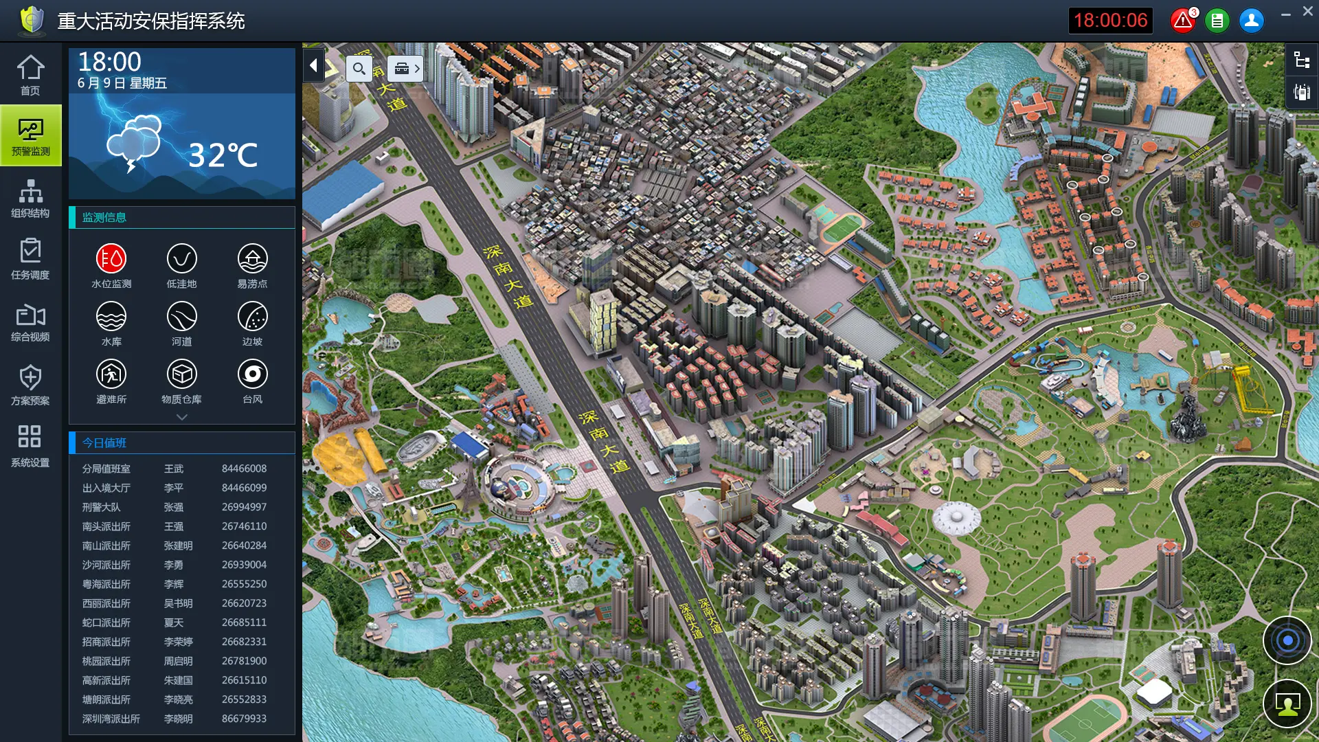
All Resources on One Map
Police force, police vehicles, and other police handheld devices; critical infrastructure, e.g. water/power/chemical facilities, schools, and resorts; dangerous spots, e.g. lowland, slope, rapid, and sewage; video surveillance camera; checkpoint; sensors for water, smoke, and infrared, etc; show or hide each resource layer on the map
-

Comprehensive Data at a Glance on Homepage
Key people, e.g. people entering/leaving specific regions, or persons on probation/parole; incident; map; video surveillance of key areas in turn; police force deployment; weather, especially typhoon and storm.
-

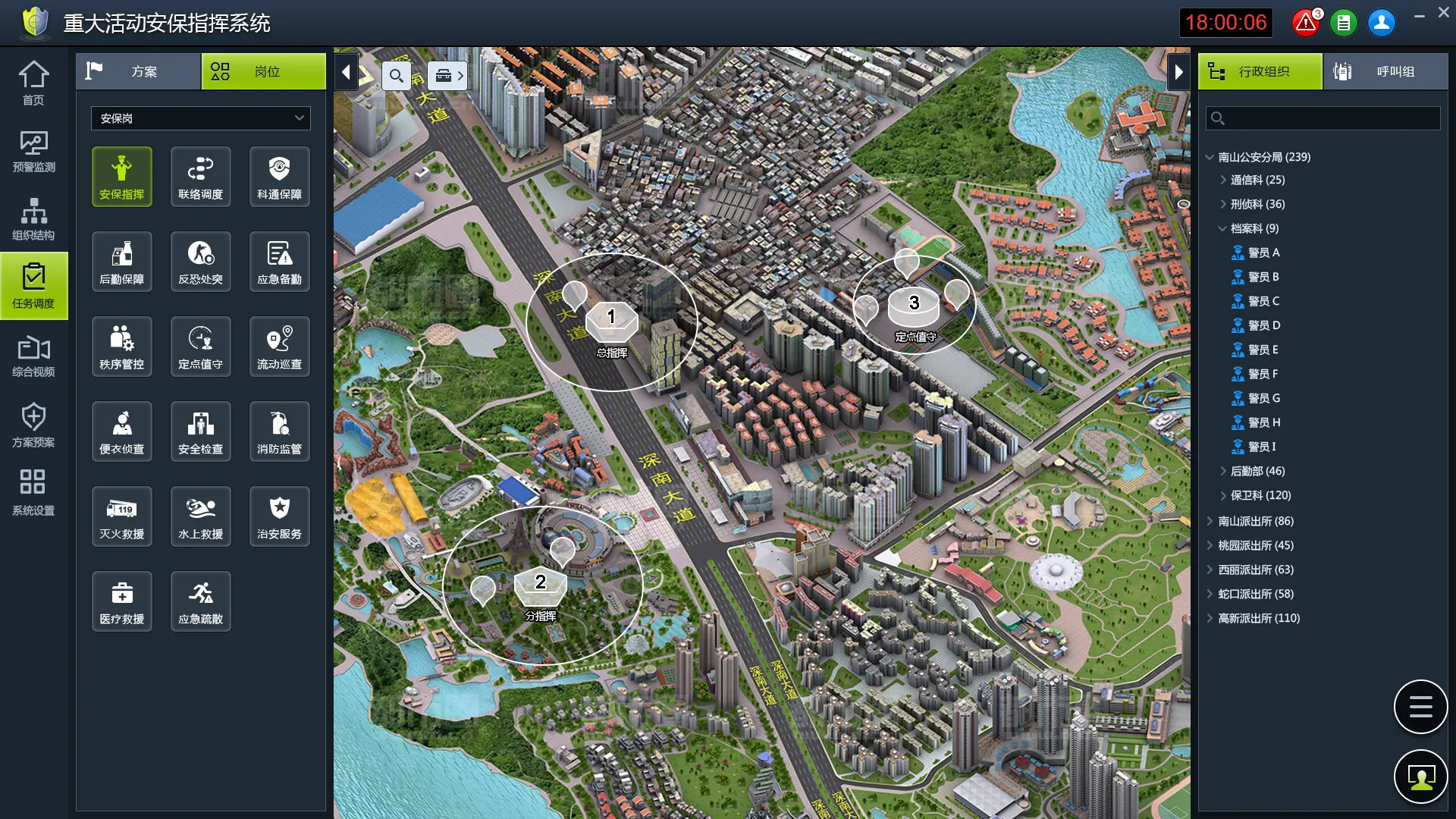
Map-based Security Post Deployment
Various functional posts, e.g. commander, patroller, traffic dispersion, and fire safety check; one click to place a post on any location of the map; select and drag to assign security force to posts.
-

Advanced Route Security Planning
Draw a route by mouse on the map; set guide and tail vehicles; deploy security posts along the route; open surveillance cameras along the route; deviation warning test with simulated GPS data; surveillance camera test along the route.
-

Flexible Dispatch During Event
Position check by GPS; notification or warning by message; roll call; click to message and call on the map; encircle resources on the map to perform DGNA.
-

Multiple Measures for Safer Route
off notification, countdown and delay warning; fleet approach notification to posts; notification of surrounding resources such as cameras or checkpoints to the fleet; warning of approaching dangerous spots, such as lowland, slope, or flyover to the fleet; notification or warning by message; automatic playing of near cameras along the route of the guide vehicle.
-

Scheme-based Organization Topology
Down organizations from schemes, tasks, posts, to individuals.
-

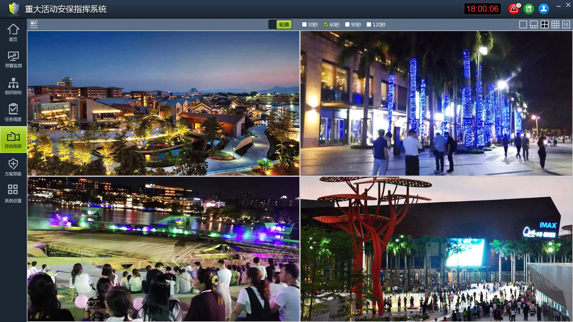
Maximize the Power of All Videos
Click playing; flexible layout of video panes; group cameras to facilitate operation
-

2.5D and 3D Map Integration
Making and accurate dispatch to better protect people.
Want to learn more about Hytera products and solutions?
Please tell us your business needs, our specialist will analyse your pain points and offer the right solution.
